PlanetBye

Bente Lilja Bye

Bente Lilja Bye

Earth science expert and astrophysicist writes about Earth observation, geodesy, climate change, geohazards, water cycle and other science related topics. Today I do research and provide expert advise to public and private organizations through my co…
RSS Feed
Hitler's Gift to Astronomy

Hitler's Gift to Astronomy

Hitler's gift to astronomy? What?Believe it or not, Hitler wanted to give Mussolini and Rome a planetarium*. Rome was among the first in the world to build a planetarium. Italy (and Mussolini) had already taken a planetarium as part of the 'compensation' for the damage Germany did to Italy in WW1 and opened the first Roman planetarium already in 1928.It is the most peculiar story, so much so that I feel compelled to tell, however little, what I know about this hidden treasure of planetarium history...

Las Vegas, Baby!

Las Vegas, Baby!

I am not a gambler, except when it comes to my own life. I'm referring to my astronaut application a few years back. I was not happy the selection committee was happy for me being pregnant and used that as an excuse to not allow any further tests on me. I will forever hate that committee; but I love my son.

Jason, Oh Jason!

Jason, Oh Jason!

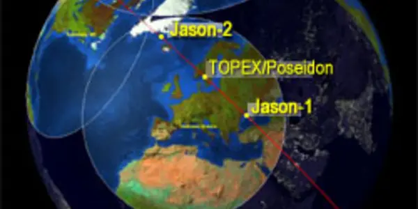
Right now we have a tandem situation. Jason-1 and Jason-2 are flying in tandem above our heads. Sounds like fun perhaps, but who cares? And who are Jason and what's with the numbers, anyways?

GRACE & GOCE

GRACE & GOCE

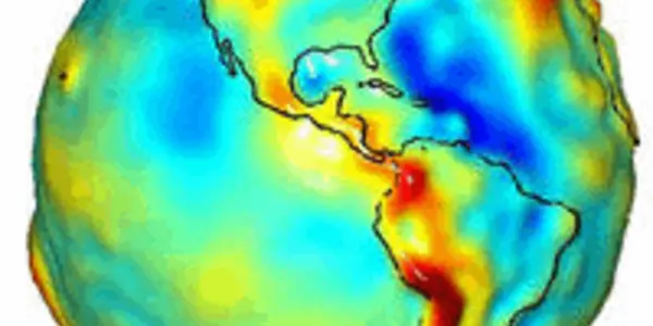
A gravity model of the Earth constructed with data from GRACE. Credit: University of Texas Center for Space Research and NASAIt is all about gravity these days. First came GRACE (Gravity Recovery and Climate Experiment) and then we'll have GOCE (Gravity field and steady-state Ocean Circulation Explorer). I'll reveal the difference right away: GRACE measures time variations while GOCE measures the static gravity field. Both are equally important for a number of societal application and both are hot on the satellite scene this fall. Well, actually amazing science results have come out based on data from GRACE ever since it was launched in 2002. In particular the increased resolution is stunning and continue to enthuse the scientists. One of my colleagues, Srinivas Bettanpur at the University of Texas, has increased the spatial resolution beyond our wildest dreams and provides now researchers with an instrument that can estimate mass changes with a spatial resolution of less than 322 km (200 miles) – a lot better than first anticipated.

Introduction To Geodesy

Introduction To Geodesy

Geodesy is the science of determining the geometry, gravity field, and rotation of the Earth and their evolution in time. Traditionally, geodesy has been serving other sciences and has had many societal applications, including mapping.

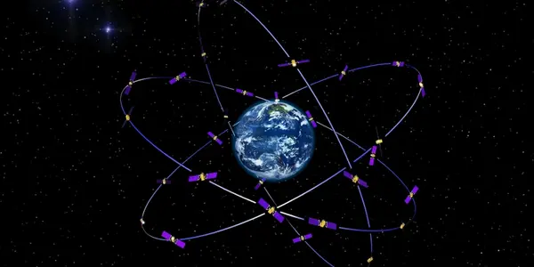
With the advent of satellite technology, geodesy itself developed into a science, making unique contributions to the study of the Earth system, its inherit dynamics, and its response to climate change, as well as a tool underpinning a wide variety of other remote sensing techniques. Geodesy is an important element in making all Earth observations interoperable, facilitating the combination of satellite observations with those gathered on ground. The European Global Navigation Satellite System (GNSS) is called Galileo. Credit: ESAFacilitated by Global Navigation Satellite Systems such as GPS, a wide and growing set of applications associated with positioning and navigation is opening up.