Banner
Encounters With Giant Sharks In The Arctic

It was one of these extremely rare days of calms seas far north in the world. When visiting the...
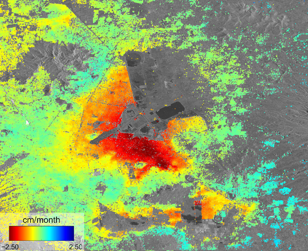
On Water And Subsidence In Mexico City

Mexico City has the best hotel shower ever. I am not one to spend a long time in the shower, but...

Citizen Science Then And Now. Want To Play The Game?

Our cabin is situated in one of the most remote places in Norway. My family got the place in the...
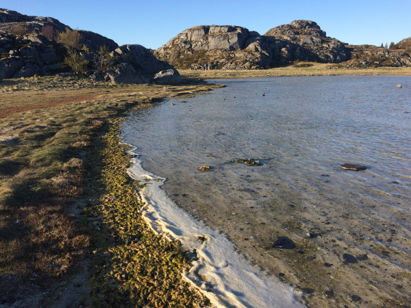
World Biodiversity Day: Wetlands, Biodiversity And The Role Of Earth Observations

It is somehow ingrained in my body, I think. The appreciation of biodiversity. I know I love wetlands...

User picture.
picture for Hank Campbellpicture for Tommaso Dorigopicture for Heidi Hendersonpicture for Sascha Vongehrpicture for Michael Whitepicture for Patrick Lockerby
Bente Lilja ByeRSS Feed of this column.

Earth science expert and astrophysicist writes about Earth observation, geodesy, climate change, geohazards, water cycle and other science related topics.

Today I do research and provide... Read More »

Blogroll
I've seen the pictures from Mars. Clearly indicating that something is disappearing from the crate left after a second scoop by Phoenix. I don't wish to be a party pooper, but could it also have been the wind that removed the lumps in the crate? It is however fantastic if it really is ice. And it might well be just that.
Phoenix Mars Lander as well as knowledge about Mars itself depend on geodesy, in particular planetary geodesy. I will put together a piece on that shortly...
Geodesy is the science of determining the geometry, gravity field, and rotation of the Earth and their evolution in time. Traditionally, geodesy has been serving other sciences and has had many societal applications, including mapping. With the advent of satellite technology, geodesy itself developed into a science, making unique contributions to the study of the Earth system, its inherit dynamics, and its response to climate change, as well as a tool underpinning a wide variety of other remote sensing techniques. Geodesy is an important element in making all Earth observations interoperable, facilitating the combination of satellite observations with those gathered on ground.

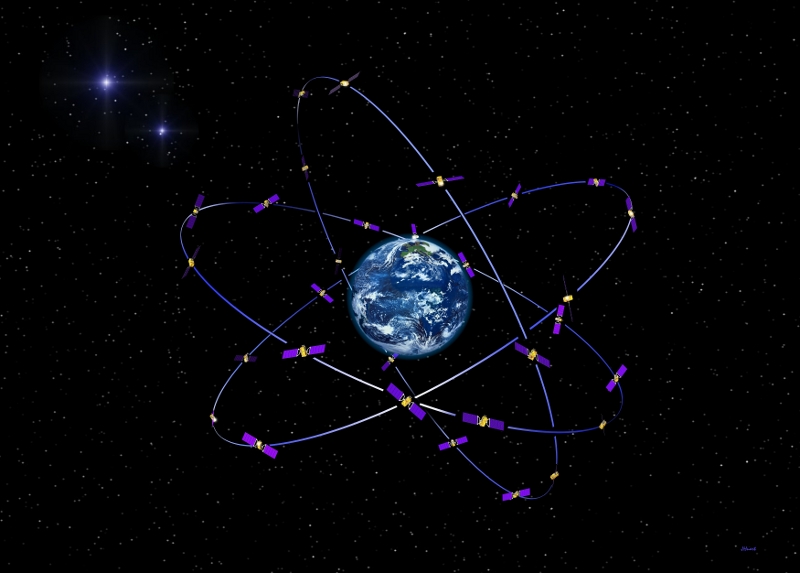
Esa Galileo
The European Global Navigation Satellite System (GNSS) is called Galileo. Credit: ESA


Facilitated by Global Navigation Satellite Systems such as GPS, a wide and growing set of applications associated with positioning and navigation is opening up.
Geodesy is the science of determining the earth's geometry, kinematics, gravity field, and their evolution in time.